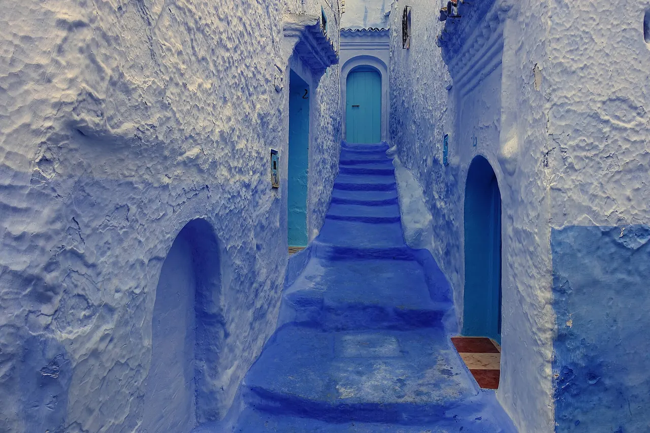
Chefchaouen
Rif · 2 days suggested
The blue pearl of the Rif: blue-washed lanes, green mountains and an unhurried pace.
Verified on 24 September 2026 · Wikidata (new tab)
Photo: Wikimedia Commons, see the credits
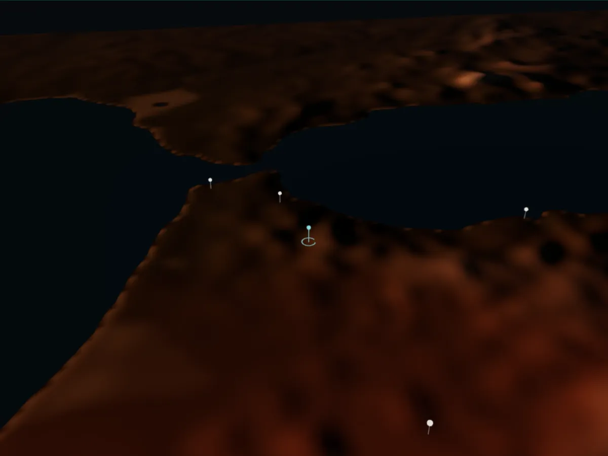
Getting to Chefchaouen
Approximate driving times from the guide’s other towns, without traffic or breaks (OSRM calculation on OpenStreetMap data, accessed 4 October 2026).
- Tetouan≈ 1 h · 61 km
- Tangier≈ 2 h · 109 km
- Meknes≈ 4 h · 191 km
- Fez≈ 4 h · 193 km
- Rabat≈ 4 h · 245 km
- Al Hoceima≈ 4 h 30 min · 218 km
Things to do in Chefchaouen
All things to do-
Outa el-Hammam square
The main square of the blue medina, lined with cafés, facing the kasbah and the Great Mosque: the starting point for walks through the lanes.
Verified on 4 October 2026 · OpenStreetMap (new tab)
-
Chefchaouen Kasbah
An ochre-walled fortress with an inner garden, home to a small ethnographic museum. Opening hours and tickets: check on site.
Verified on 4 October 2026 · Wikidata (new tab)
-
Ras el-Ma spring
At the edge of the medina, the spring and old wash-houses by the stream: a cool spot where several paths into the hills begin.
Verified on 4 October 2026 · OpenStreetMap (new tab)
-
Talassemtane National Park eco-museum
A small museum about the landscapes, wildlife and plants of the nearby national park: a good introduction before a hike. Opening hours: check on site.
Verified on 4 October 2026 · OpenStreetMap (new tab)
Around town
-
Talassemtane National Park
Limestone Rif mountains and forests, including the Moroccan fir: hiking for a day or several, ideally with a local guide.
Verified on 4 October 2026 · Wikidata (new tab)
Where to stay and eat
-
Dar Echchaouen
A property on Avenue Tareq Rass El Maa, in the Onsar district.
Location verified on 24 September 2026 · confirm opening hours and prices with the venue · OpenStreetMap (new tab)
Good to know
Checked practical tips: these are not commercial offers.
Free or low budget
Outa el-Hammam square, the Ras el-Ma spring and the blue lanes can be visited on foot with no ticket.
Verified on 4 October 2026 · OpenStreetMap (new tab)
Practical
The French Foreign Ministry advises extra caution in the Rif and avoiding secondary roads at night; the Al Hoceima–Chefchaouen–Tetouan road is described as smooth.
Verified on 4 October 2026 · diplomatie.gouv.fr (new tab)
Getting there and around
Nearest airport: Tetouan Saniat R'mel Airport (TTU), about 67 km by road.
Verified on 4 October 2026 · Wikidata (new tab)
Plan your stay in Chefchaouen
The planner suggests a day-by-day programme, with travel times between stops. Your favorites stay in this browser.