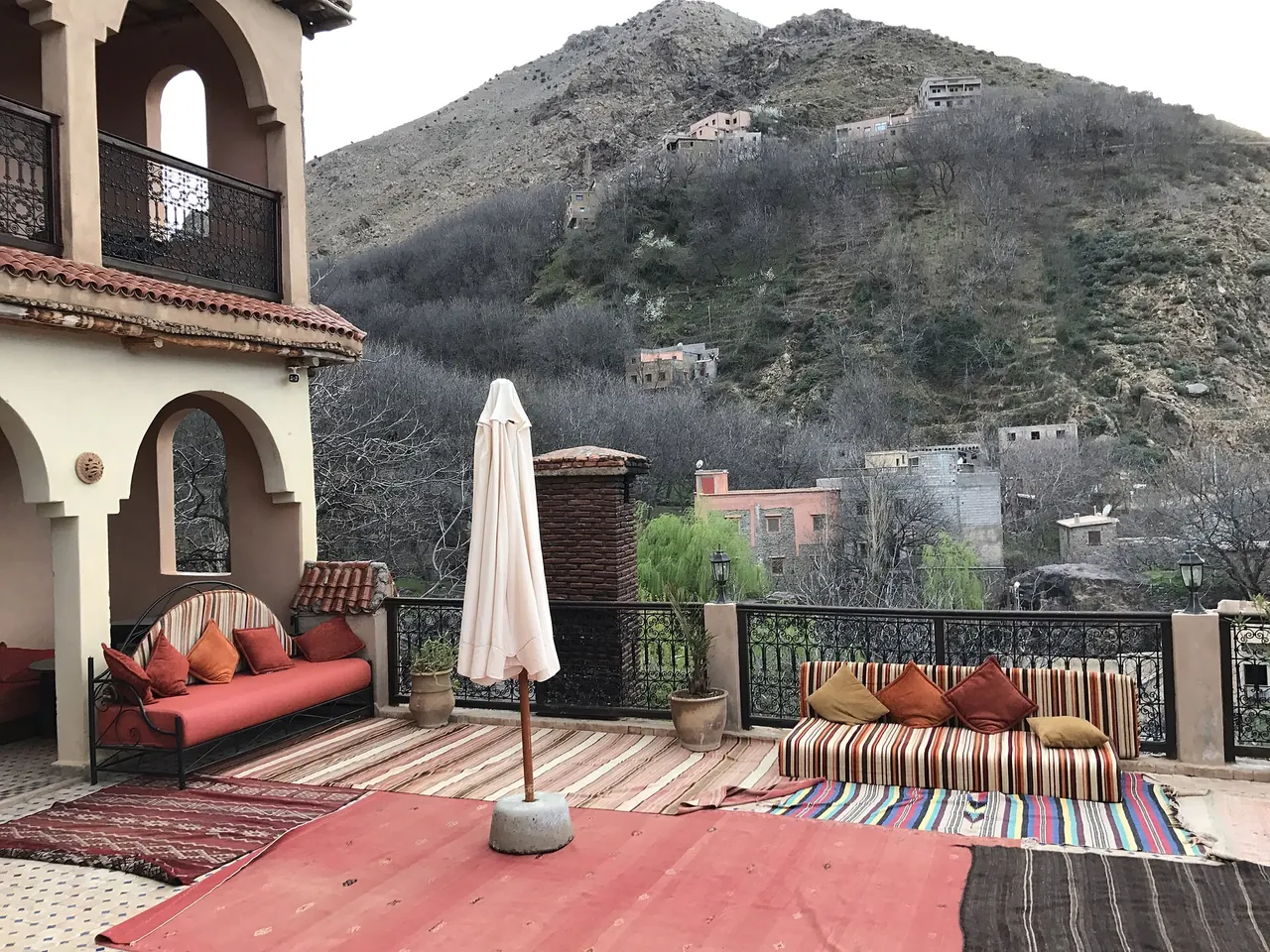
High Atlas & Imlil
Mountains · 2 days suggested
Terraced Berber villages and the starting point for Toubkal, North Africa’s highest peak.
Verified on 24 September 2026 · Wikidata (new tab), Wikidata (new tab)
Photo: Wikimedia Commons, see the credits
Getting to High Atlas & Imlil
Approximate driving times from the guide’s other towns, without traffic or breaks (OSRM calculation on OpenStreetMap data, accessed 4 October 2026).
- Marrakesh≈ 1 h 30 min · 66 km
- Essaouira≈ 4 h · 231 km
- Casablanca≈ 4 h · 305 km
- Agadir & Taghazout≈ 4 h · 308 km
- Ouarzazate & Aït Benhaddou≈ 4 h 30 min · 236 km
- El Jadida≈ 4 h 30 min · 262 km
Things to do in High Atlas & Imlil
All things to do-
Hike towards Toubkal
Mule trails, terraced villages and summit views. Check whether a guide is mandatory before you go.
Verified on 24 September 2026 · Wikidata (new tab)
-
Walk to Aroumd
The terraced village next to Imlil, above the valley: a short walk uphill with no technical difficulty.
Verified on 4 October 2026 · OpenStreetMap (new tab)
Around town
-
Oukaimeden
A high-altitude ski resort in winter; the rest of the year, mountain pastures and rock engravings. Snow cover varies a lot from year to year.
Verified on 4 October 2026 · Wikidata (new tab)
-
Lake Ifni
A remote mountain lake, reachable only on a multi-day trek: plan it with a guide.
Verified on 4 October 2026 · Wikidata (new tab)
-
Toubkal National Park
Morocco’s first national park, around North Africa’s highest peak: valleys, villages and mule trails starting from Imlil.
Verified on 4 October 2026 · Wikidata (new tab)
Where to stay and eat
-
Kasbah Tamadot
A hotel in the High Atlas, near the village of Asni.
Location verified on 24 September 2026 · confirm opening hours and prices with the venue · OpenStreetMap (new tab)
Good to know
Checked practical tips: these are not commercial offers.
Free or low budget
The short walk from Imlil to the village of Aroumd is on foot and free.
Verified on 4 October 2026 · OpenStreetMap (new tab)
Practical
North Africa’s highest peak rises to 4,167 m: the ascent requires good fitness; check whether a guide is mandatory.
Verified on 4 October 2026 · Wikidata (new tab)
Getting there and around
Nearest airport: Marrakesh Menara Airport (RAK), about 68 km by road.
Verified on 4 October 2026 · Wikidata (new tab)
Plan your stay in High Atlas & Imlil
The planner suggests a day-by-day programme, with travel times between stops. Your favorites stay in this browser.