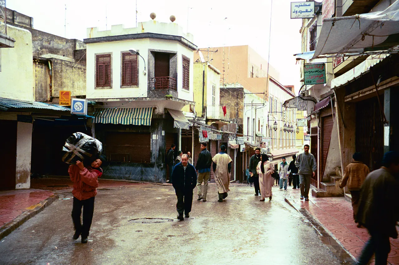
Tangier
Strait of Gibraltar · 2 days suggested
A crossroads city facing the Strait of Gibraltar, with a long literary and artistic history.
Verified on 24 September 2026 · Wikidata (new tab)
Photo: Wikimedia Commons, see the credits
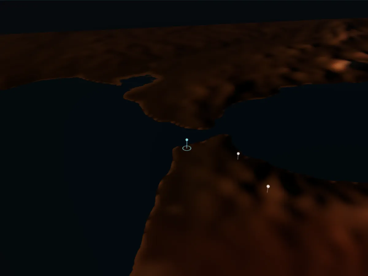
Getting to Tangier
Approximate driving times from the guide’s other towns, without traffic or breaks (OSRM calculation on OpenStreetMap data, accessed 4 October 2026).
- Tetouan≈ 1 h · 56 km
- Chefchaouen≈ 2 h · 109 km
- Rabat≈ 3 h · 247 km
- Casablanca≈ 4 h · 343 km
- Meknes≈ 4 h · 351 km
- Fez≈ 4 h 30 min · 403 km
Grand Stade de Tanger, proposed stadium for the 2030 World Cup : the stadium, its status and sources
Trains, coaches and car hireThings to do in Tangier
All things to do-
American Legation
A medina building given to the United States in the 19th century, now a museum and cultural centre. Opening hours: check on site.
Verified on 4 October 2026 · Wikidata (new tab)
-
Kasbah Museum
In the former sultan’s palace (Dar el-Makhzen), a museum of Mediterranean cultures with a garden and views over the strait. Opening hours: check on site.
Verified on 4 October 2026 · OpenStreetMap (new tab)
-
Grand Socco
A busy square between the medina and the new town, the starting point for the medina and the kasbah.
Verified on 4 October 2026 · Wikidata (new tab)
Around town
-
Perdicaris Park (Rmilat)
A woodland park above the sea west of the city, with the Perdicaris villa and walking paths.
Verified on 4 October 2026 · Wikidata (new tab)
-
Cape Spartel
The cape at the entrance to the Strait of Gibraltar, with its lighthouse, where the Atlantic meets the Mediterranean.
Verified on 4 October 2026 · Wikidata (new tab)
-
Caves of Hercules
A cave opening onto the ocean near Cape Spartel; its sea opening is said to resemble the shape of Africa. Opening hours and tickets: check on site.
Verified on 4 October 2026 · Wikidata (new tab)
Where to stay and eat
-
Hotel Continental
A hotel in the Tangier medina, on Rue Dar Baroud, close to the port.
Location verified on 24 September 2026 · confirm opening hours and prices with the venue · OpenStreetMap (new tab)
-
Café Hafa
Opened in 1921, this clifftop café has tiered terraces facing the Strait of Gibraltar.
Location verified on 24 September 2026 · confirm opening hours and prices with the venue · Wikidata (new tab), en.wikipedia.org (new tab)
Good to know
Checked practical tips: these are not commercial offers.
Free or low budget
The Grand Socco, the medina lanes and Perdicaris Park are free to explore.
Verified on 4 October 2026 · Wikidata (new tab)
Practical
Most beaches in Morocco are not supervised and currents can be strong, even on supervised beaches (French Foreign Ministry).
Verified on 4 October 2026 · diplomatie.gouv.fr (new tab)
Getting there and around
Nearest airport: Tangier Ibn Battouta Airport (TNG), about 15 km by road; railway station: Tanger-Ville railway station.
Verified on 4 October 2026 · Wikidata (new tab)
Plan your stay in Tangier
The planner suggests a day-by-day programme, with travel times between stops. Your favorites stay in this browser.